
HGS RESEARCH HIGHLIGHT – The effects of land subsidence and its mitigating measures on shallow groundwater salinization in the low-lying coastal plain of East Japan
The research investigates how land subsidence and mitigation measures, specifically pumping stations and ditch systems in Shirako Town, Japan's lower Nabaki River region, interact. Land subsidence, caused by natural and human factors, heightens flood risks in coastal areas, challenging infrastructure stability and environmental sustainability. While pumping stations and ditches aim to manage surface water levels and reduce floods, their impact on groundwater salinity near tidal rivers is unclear. Using a coupled surface-subsurface model, the study reveals potential risks like saline water intrusion into groundwater.

NEW version of HGS (HGS PREMIUM October 2024 (REVISION 2732)
The HydroGeoSphere Revision 2732 (October 2024) is now available for download.

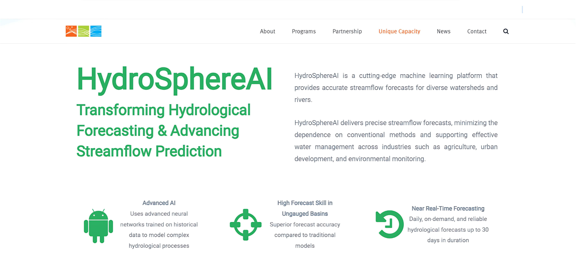
HydroSphereAI featured in OWC’s Innovation Showcase
We’re proud to share that Aquanty’s cutting-edge hydrological forecasting tool HydroSphereAI is now featured in the Ontario Water Consortium (OWC) Innovation Showcase. The OWC highlights our machine-learning based streamflow forecasting tool, designed to address the complex water management challenges of today and position Aquanty as a leader in hydrological forecasting solutions.

HGS RESEARCH HIGHLIGHT – Analyzing variation of the water table level with three-dimensional numerical simulations to assess reclamation techniques for an acidic tailings impoundment
As an extension of the last HGS research highlight titled ‘Improving control of contamination from waste rock piles’, this next research highlight within this series looks at a study conducted by the same researchers and explores the effects of thin cover deposition on managing water table levels in acidic tailings impoundments, while utilizing HydroGeoSphere (HGS) for in-depth simulations.

“Homegrown Technologies Could Play a Key Role in the World’s Water Future” - Aquanty Featured in CWRA’s Water News Magazine
We’re proud to share that Aquanty has been highlighted in a recent issue of the CWRA’s Water News Magazine. This article explores the innovative tools we’ve developed to tackle 21st-century water resource challenges, positioning Aquanty as a leader in hydrologic system modelling both in Canada and internationally.

Announcing HydroClimateSight - Aquanty’s comprehensive suite of web services
As we continue to develop new technologies, we’ve realized the necessity to reformulate the way that these technologies are presented/communicated to our stakeholders. With that in mind, we’re here to announce the rebirth of our suite of web-based technologies as HydroClimateSight (HCS). HCS brings all of our technologies together under a common umbrella, providing users with a comprehensive suite of tools to support decision making with best-in-class, physics and AI-based hydro-climatological forecasting. Read-on to learn more about the unique value that Aquanty can offer by combining a comprehensive suite of weather, climate and hydrological prediction tools.

HGS RESEARCH HIGHLIGHT – Improving control of contamination from waste rock piles
This study conducted by researchers investigates how well compacted cover layers on waste rock piles can mitigate infiltration into these waste piles, reducing the overall potential for oxidation of sulfidic waste materials and control environmental contamination. The research provides a detailed examination of how different cover configurations and hydrogeological conditions affect the performance of these covers in mitigating risks associated with waste rock piles.

NEW version of HGS (HGS PREMIUM September 2024 (REVISION 2724)
The HydroGeoSphere Revision 2724 (September 2024) is now available for download.

HGS RESEARCH HIGHLIGHT – Assessing the impact of surface water and groundwater interactions for regional-scale simulations of water table elevation
In this research highlight, researchers Hugo Delottier, Oliver S. Schilling, and René Therrien, conducted an in-depth exploration of how the interaction between surface water (SW) and groundwater (GW) affects the accuracy of regional-scale simulations of water table elevations in Southern Quebec. This investigation was conducted over a vast 36,900 km² regional aquifer system, which is marked by a complex hydrogeological setup. The area of study includes a regional bedrock aquifer that is overlain by discontinuous Quaternary sediments, presenting a challenging environment for accurate hydrological modelling.

Intro to HGS-PDAF (version 1.0) - Aquanty Webinar
A recording of our August 12st, 2024 webinar is now released.
In this recording of our recent webinar, we introduced HGS-PDAF (version 1.0)—a groundbreaking tool that enhances hydrological modeling through the integration of real-time data assimilation.
